AERIAL MAPPING
Efficient Image Processing
CATEGORY
Aerial mapingABOUT
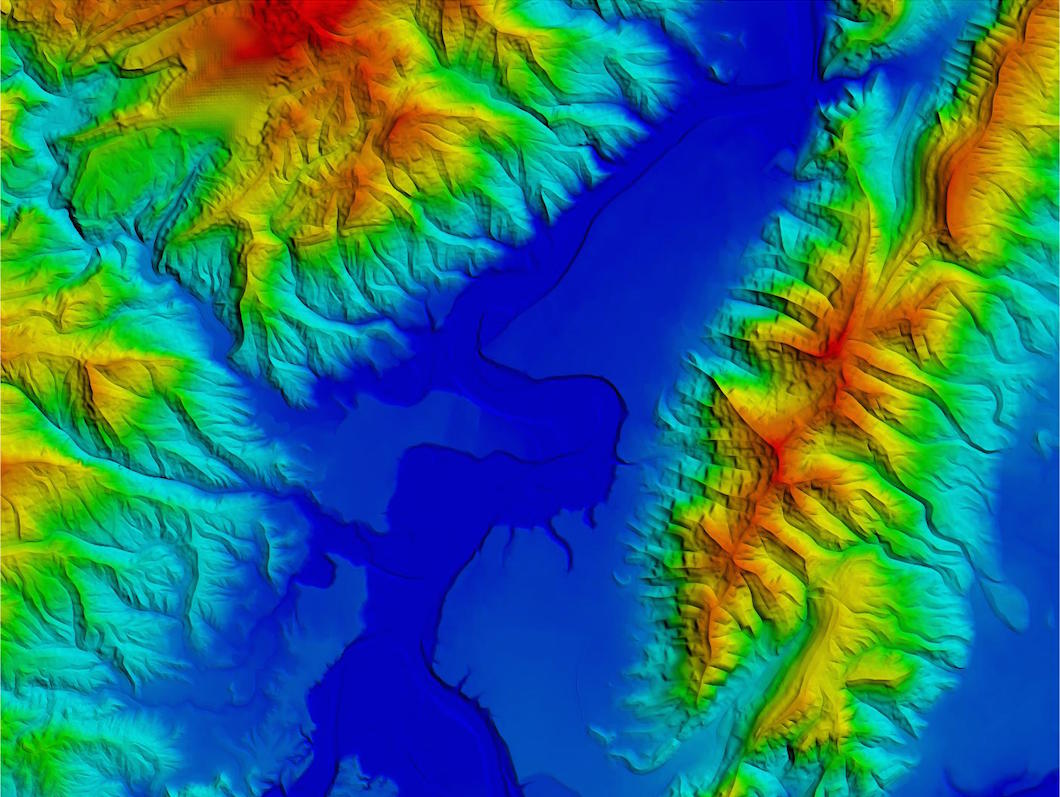
Advancement in technologies enabled our company to provide this powerful mapping tool, which has a main goal to develop a technologically advanced integrated data processing system, monitoring wide territory areas and manage the emergency system, combining multiple images from satellites, drones, planes, etc.
The technology is sable to self-enhance the data archive through a continuous EDTM (Enhanced Digital Terrain Model) repository update for a boost in performance.
Fields of applications include:
- Architecture, civil engineering, urban planning
- Quarries, landfills, large masses on the importance of territory
- Archaeology, restoration, parks
- Industrial inspection, buildings and power lines
- Ecology and Energy Monitoring (measurements with thermal cameras)
- Security, control